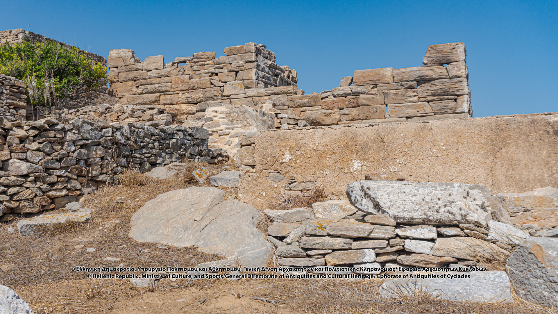
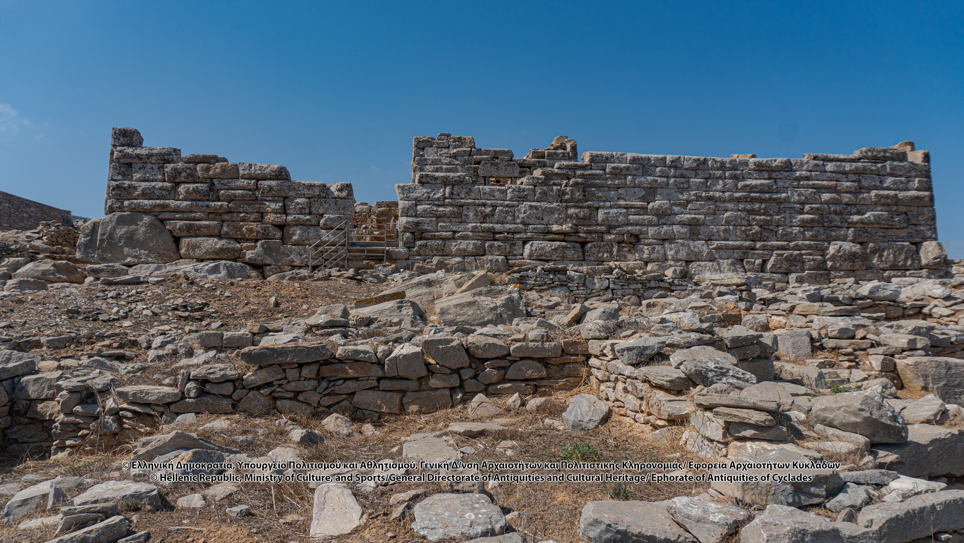
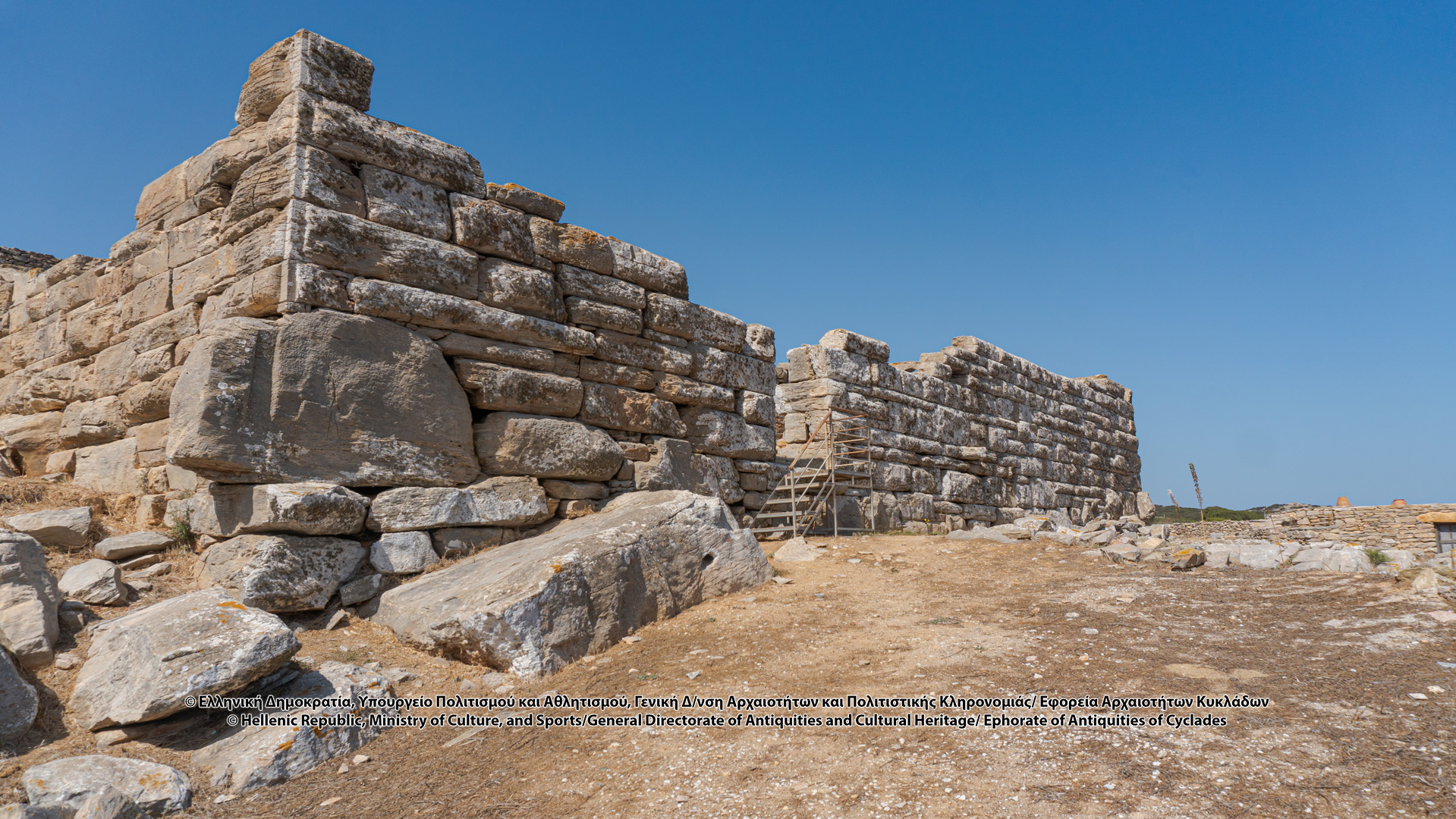
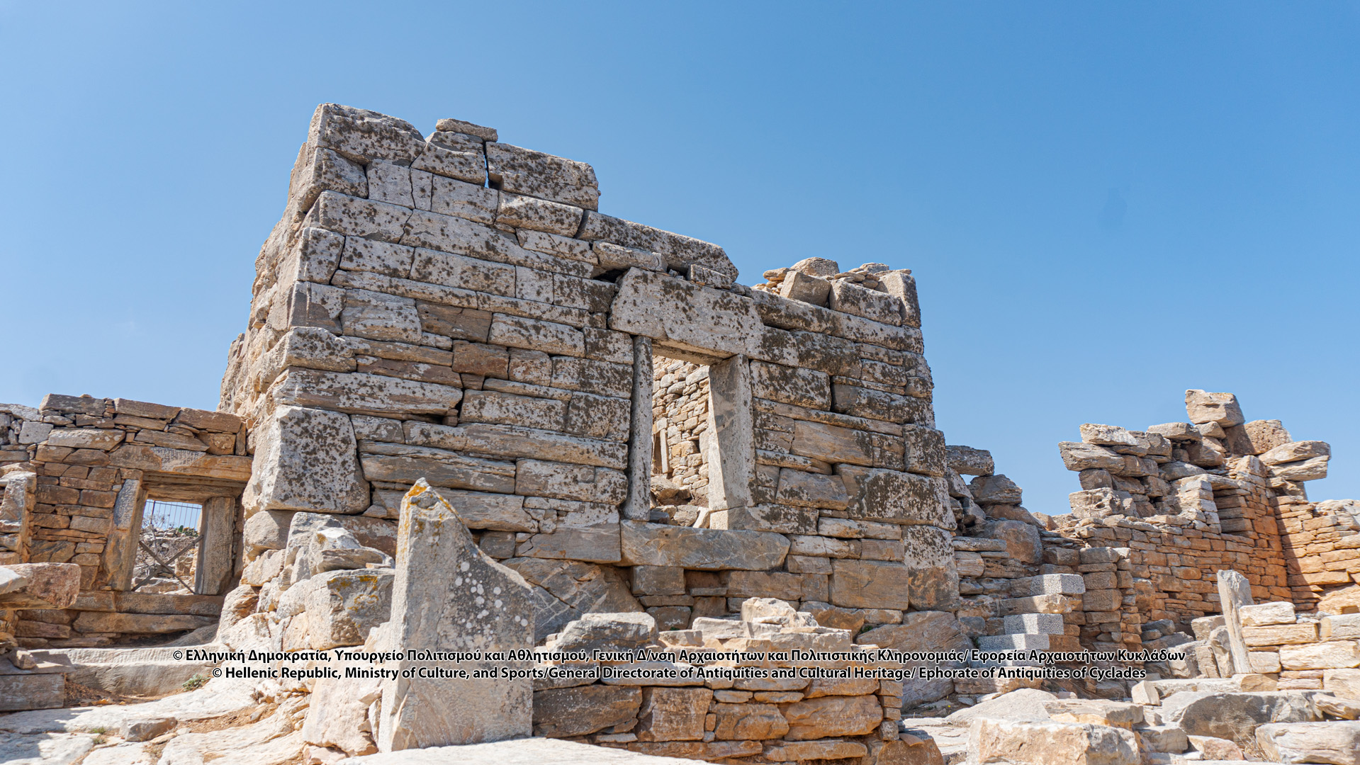
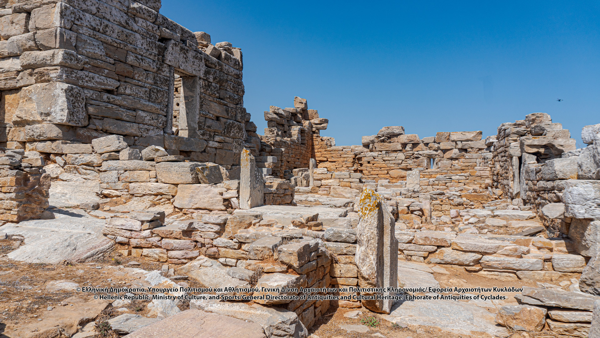
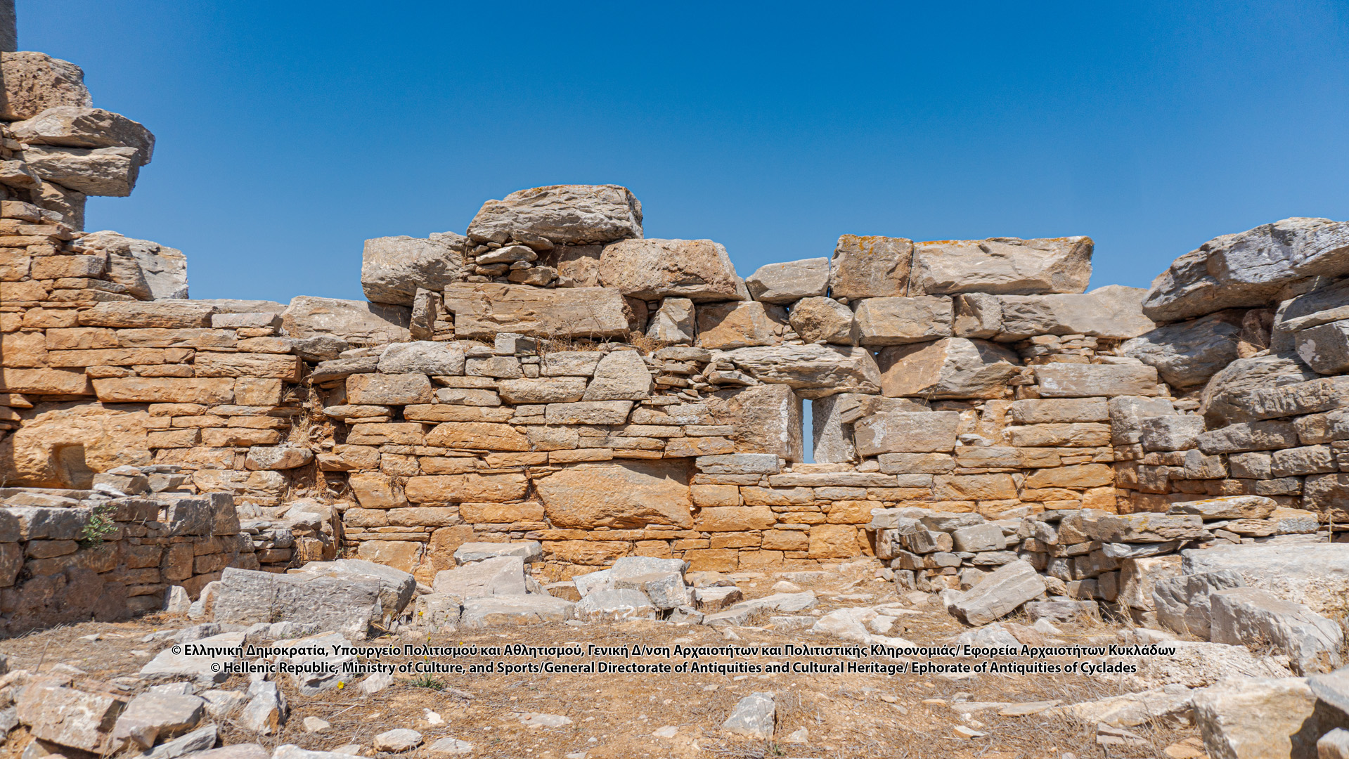
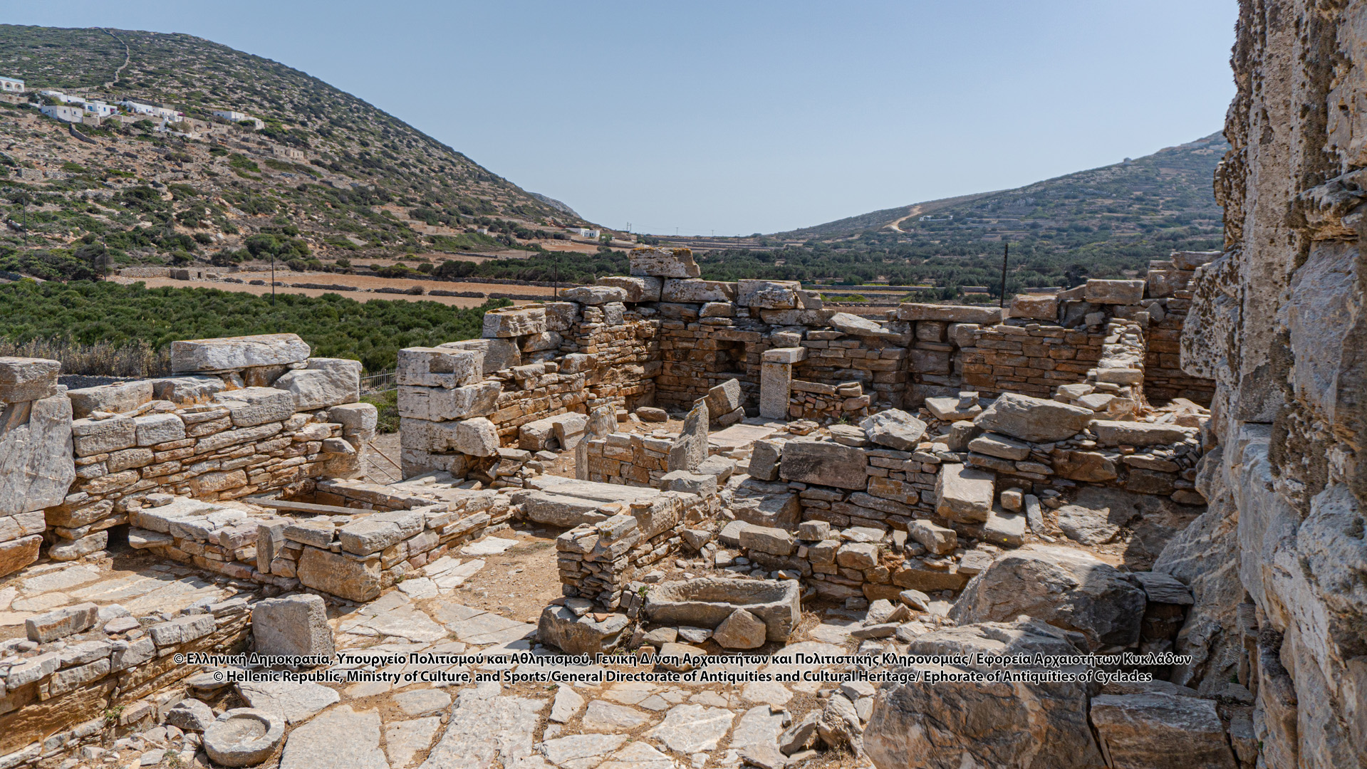
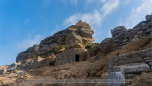
The monumental Tower of Agia Triada (Holy Trinity) became known for the first time by L. Ross when he visited Amorgos in 1841, describing it as “one of the Greek observatories”, while a few years later, in 1852, it is described, for the first time in the Greek language bibliography, by Ioannidis, Amorgian, and, afterwards, by Miliarakis, who toured the island in 1883. Bent and Philippson will make brief mentions later.
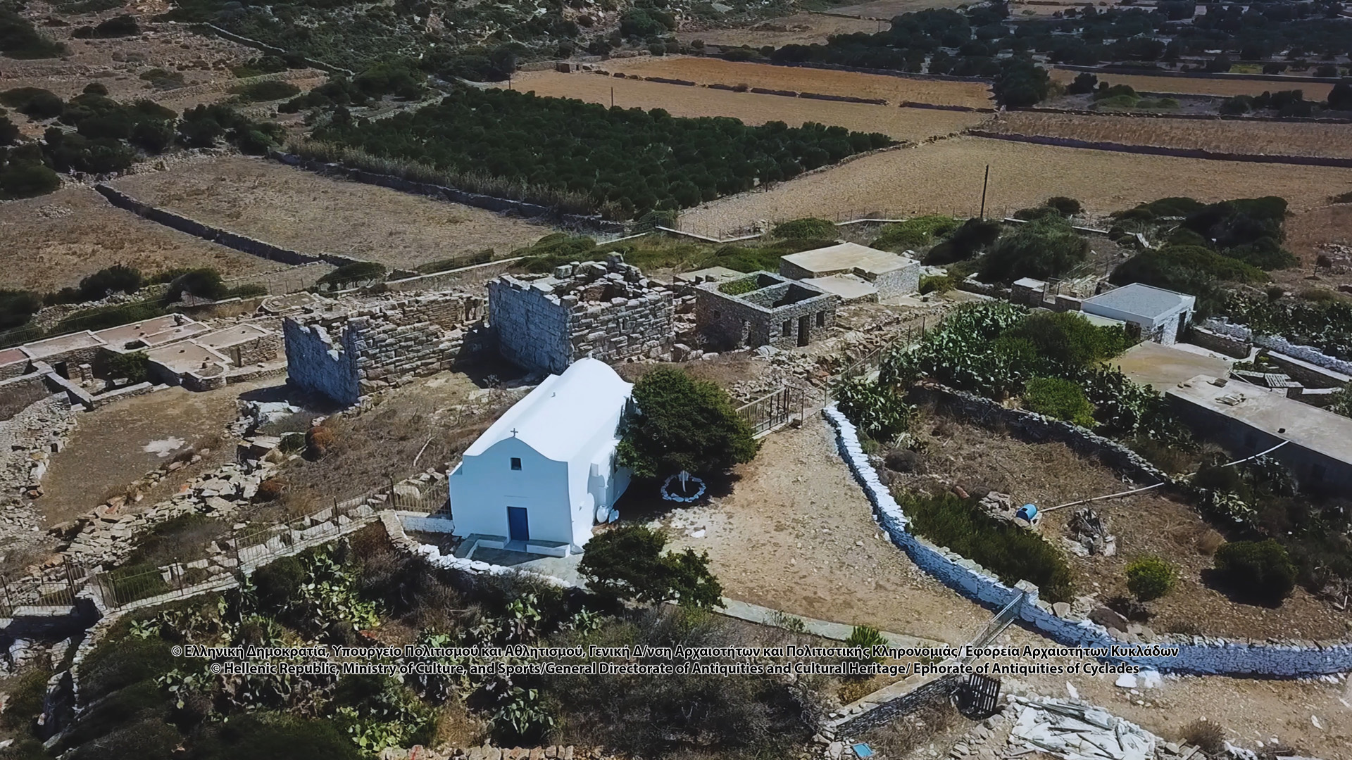
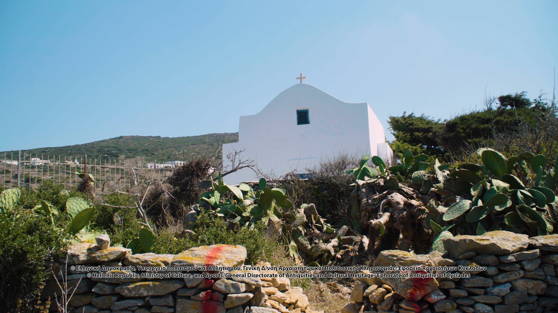
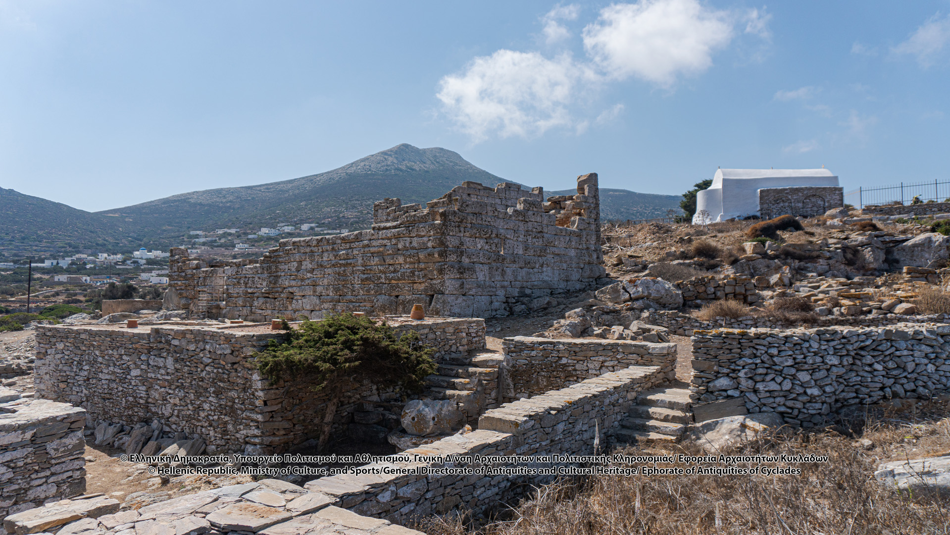
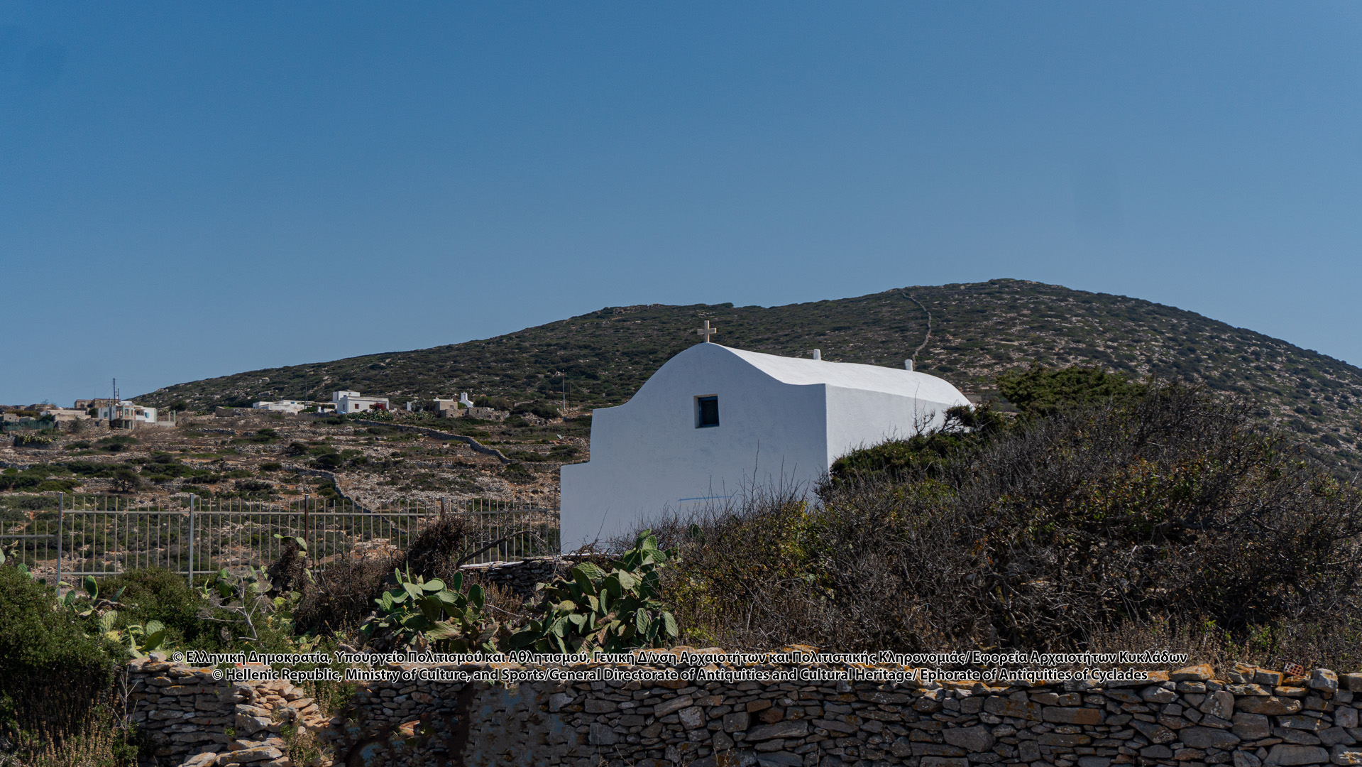
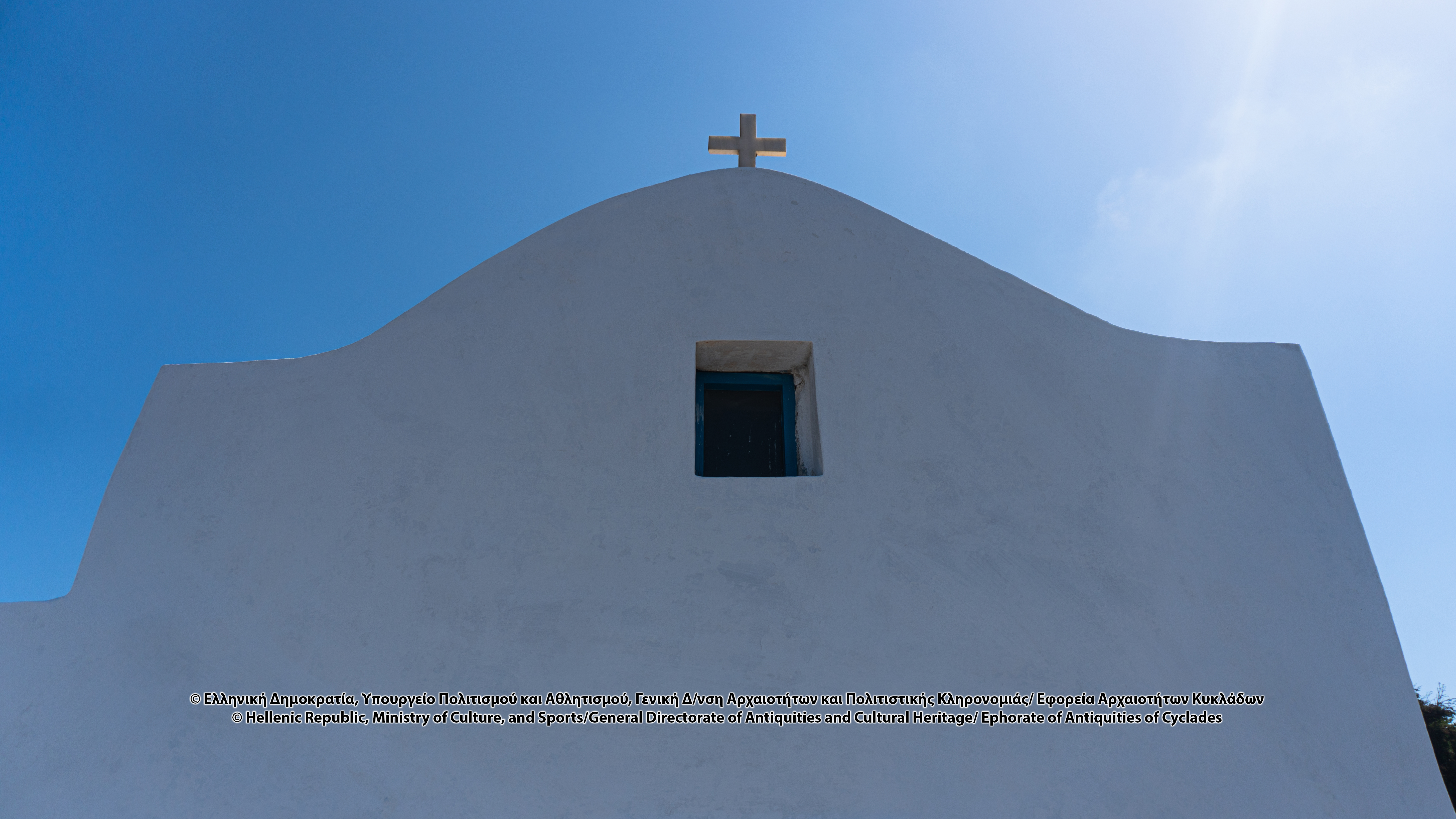
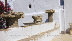
The name of the monument is due to the adjacent church of Agia Triada (Holy Trinity), a three-aisled vaulted basilica. To the east of the current arch of the church, the arch of an older church is visible, while on the outside of the north wall, the remains of an arched structure are clearly visible. The church has built-in architectural features dating back to the early Christian period. The dating of the original church is doubtful and its construction is calculated to date back in the Early Christian or Early Byzantine period. The first works in the Tower of Agia Triada (Holy Trinity) began in 1993, under the supervision of Prof. L. Maragkos, with funding from the Ministry of the Aegean, and they continued until 2002. Since 1999, the Stavros Niarchos Foundation has also participated in the funding.
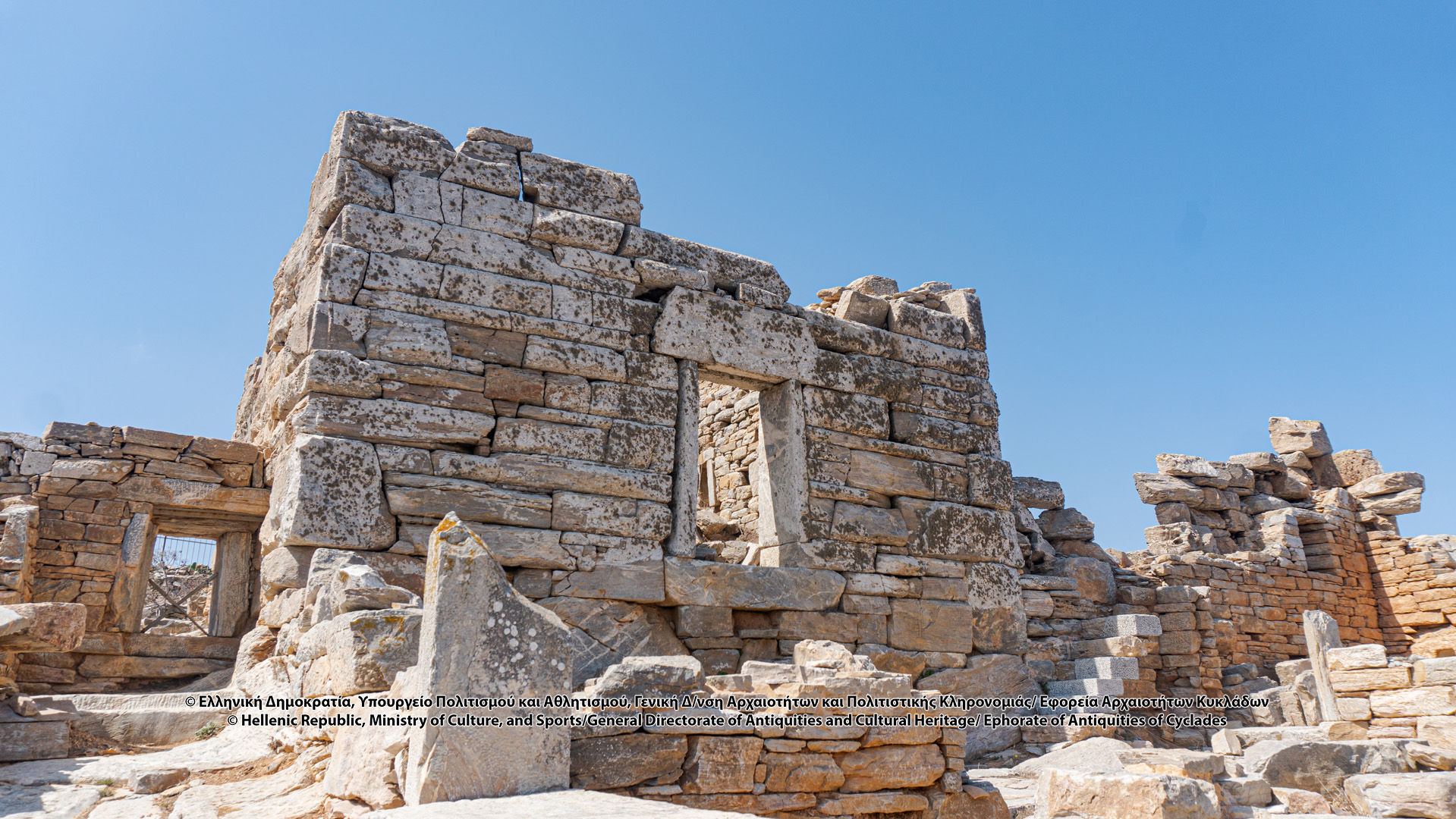
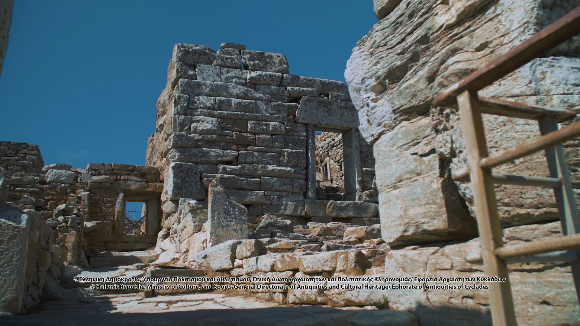
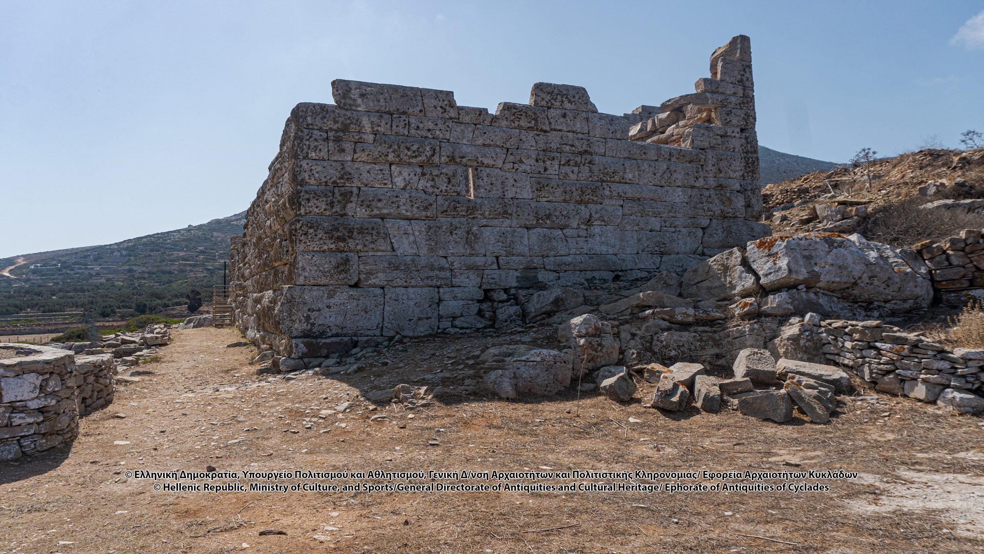
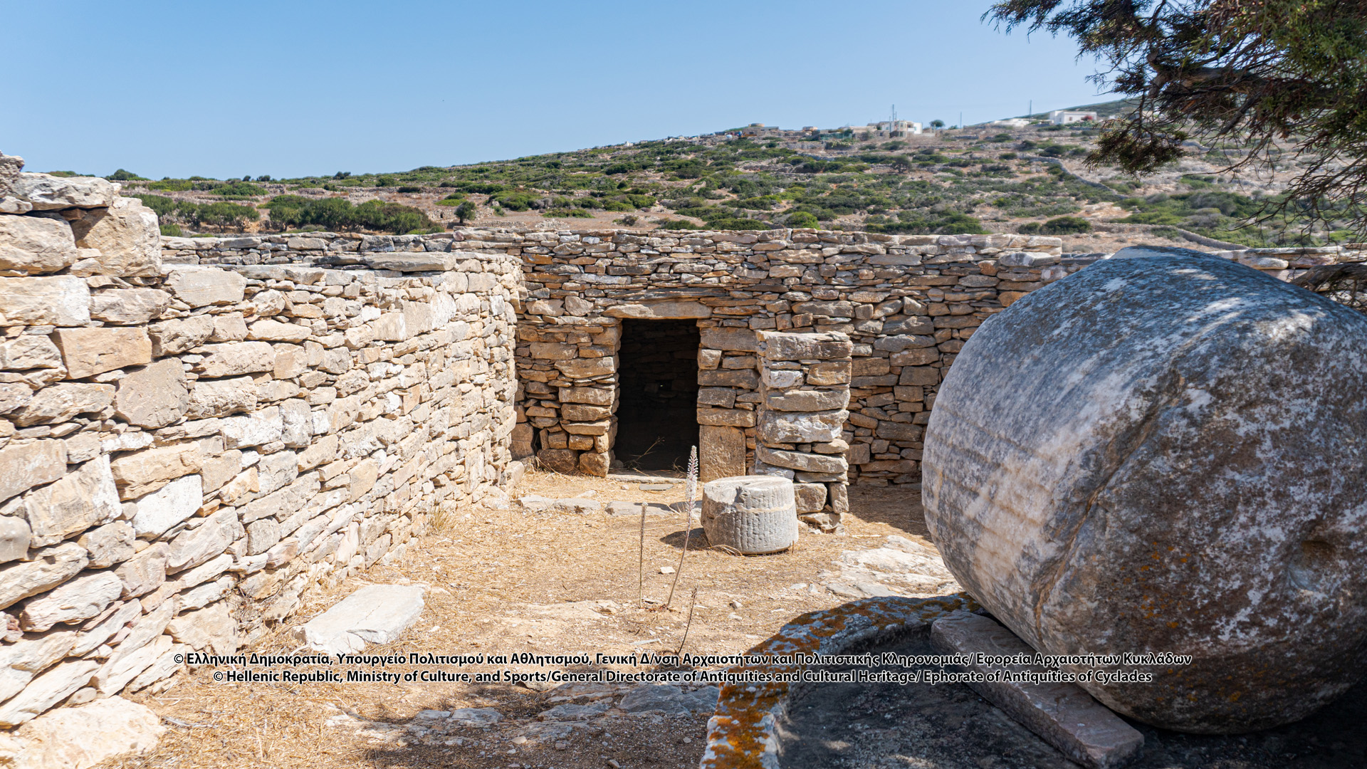
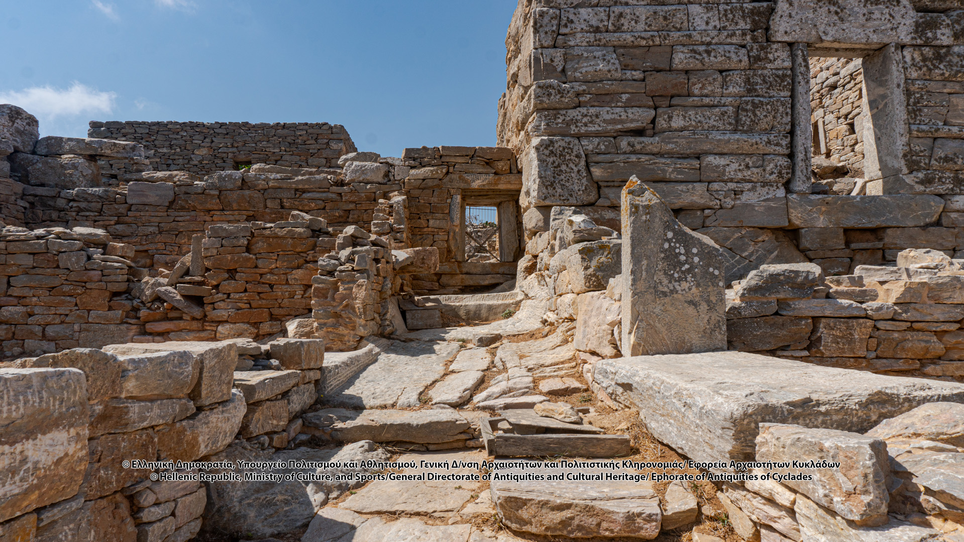
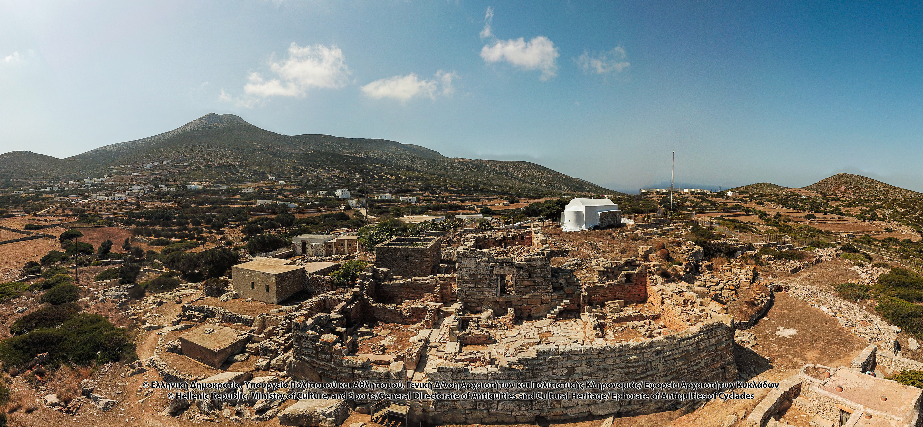
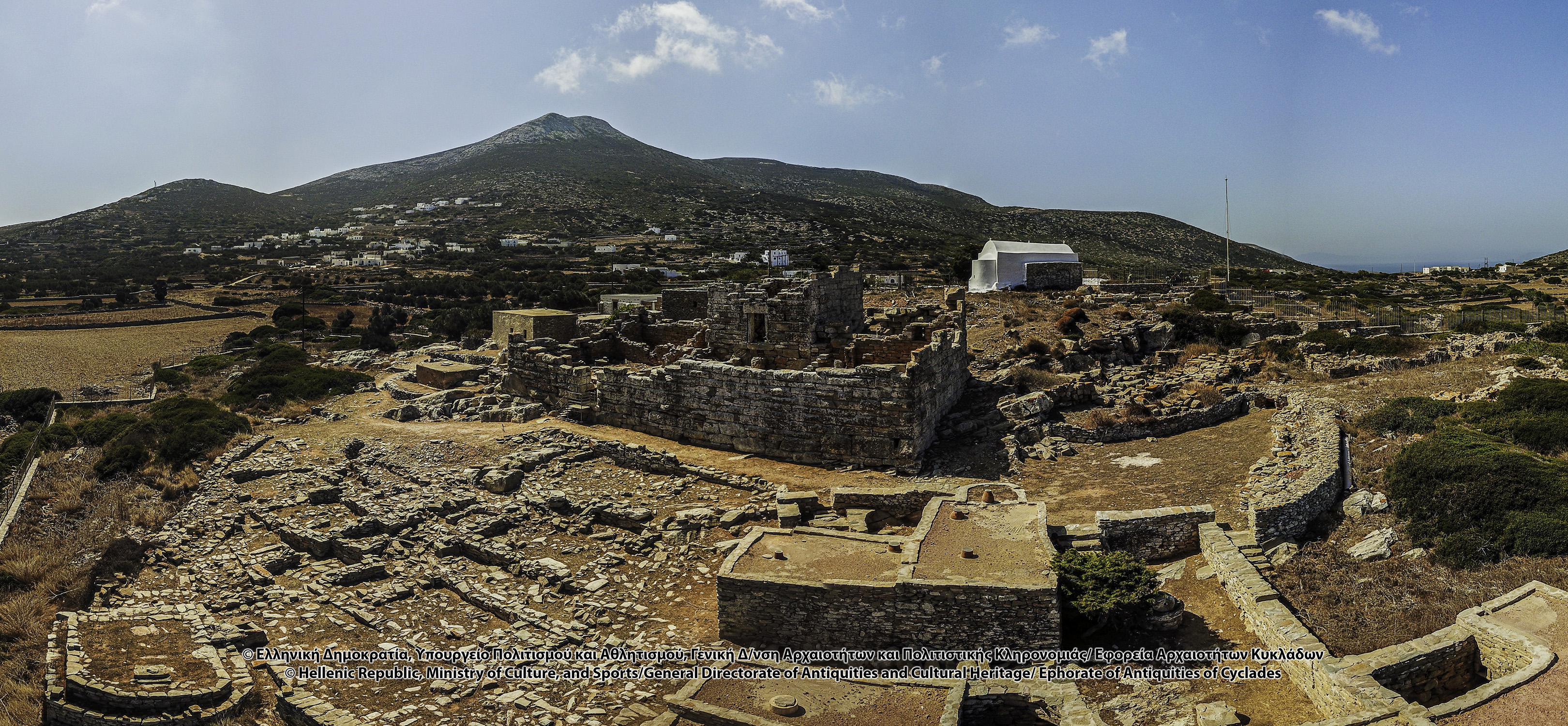
Archaeological remains are released from the wild vegetation and the newer, ruined, outbuildings, radically changing the appearance of the monument and the surrounding area. Fallen stones and building features are removed from the inside of the space, revealing the door and the inner sides of the three side walls (visible height 1.05 m) with the stones with hole for insertion of roof-beam, the partition walls in the eastern part, as well as three of the upper rungs of the staircase leading to the first floor. Further restoration work makes the monument accessible to numerous visitors and confirms the accuracy of the descriptions and drawings of Ross and Miliarakis, as well as the detailed architectural plan of M. Korres, who since 1974 captured the Tower and the adjacent buildings, newer and ancient. In the following years, this project is part of the Regional Section of the C’ Community Support Framework (2001-2006).
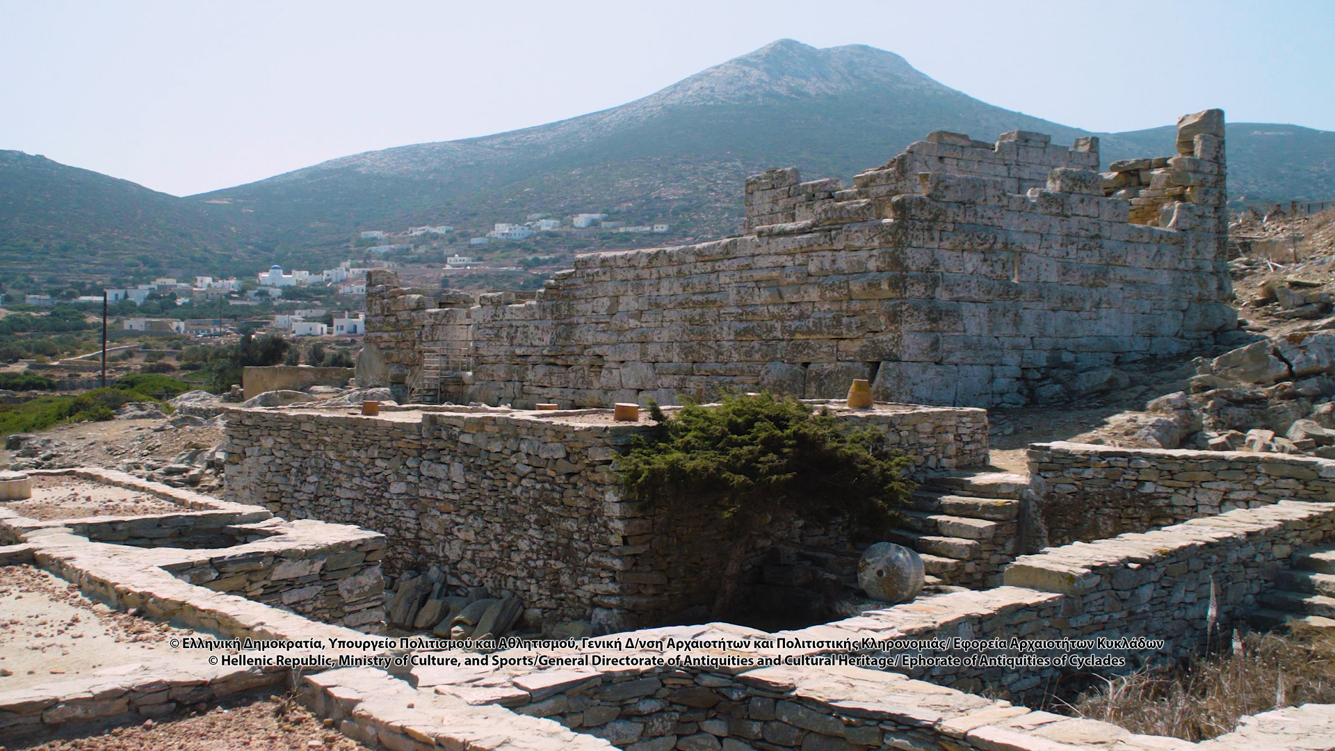
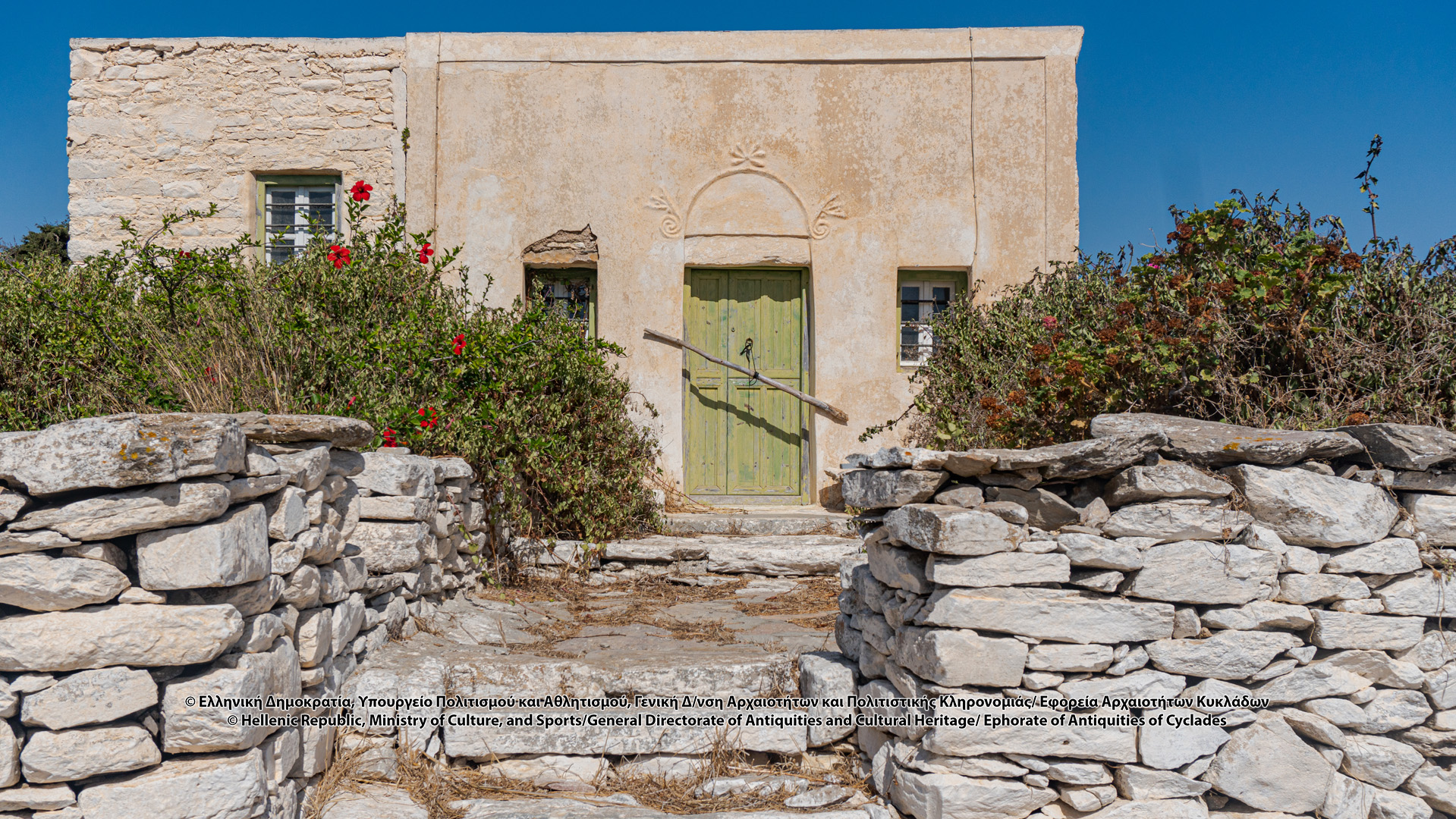
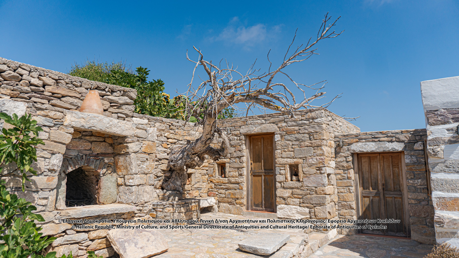
The detected mobile finds and the presence of multiple building relics, dating from the Prehistoric to the Modern period (newer masonry structures related to agricultural installations, collecting drain systems, rainwater tank, built-in oven, olive-oil press, zevgospito (the seasonal house for sowing and reaping), confirm the timeless use of space from antiquity to the present day.
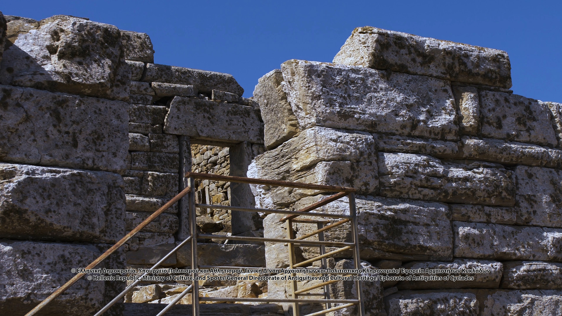
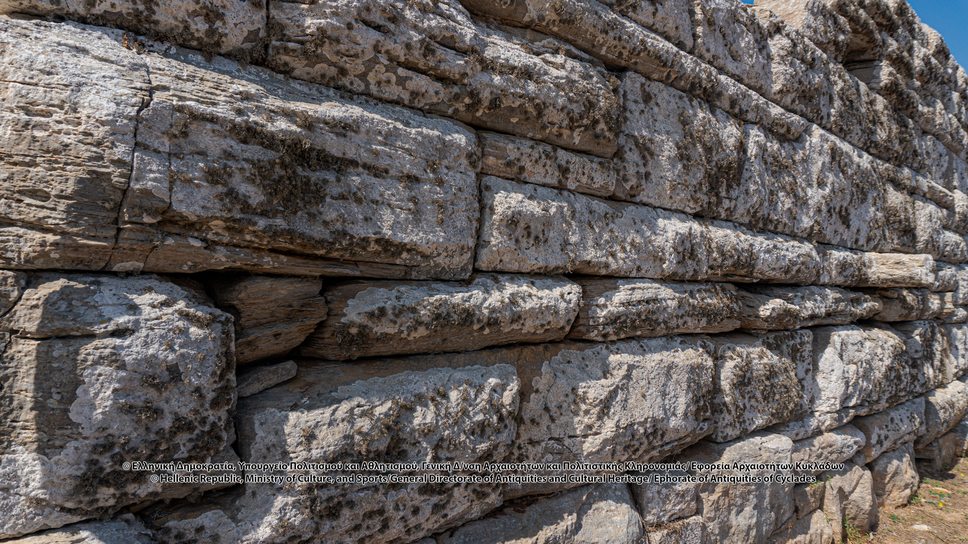
As the detected, unstratified, mobile finds are not a safe chronological criterion and in the absence of written information and inscriptions from the specific area, the dating of the tower results from morphological elements, such as the arched door of the courtyard, the shape of the windows, the locking technique of the door of the main tower, the careful masonry according to the pseudo-isodome system with a convex (curved) surface, as well as the careful carving of the rectangular guides that contribute to the grandeur of the monument, common features of Greek architecture in buildings of variable character, defensive, public and private, from the 5th century BC until the late Hellenistic times. The similarity, though, of masonry and the quality of carving with certainly dated defense works of the classical times in Attica, in combination with inscriptions from Arkesini, which confirm the close relations with Athens, strengthen the chronological integration of the monument in the 4th century BC.
It is a rectangular fortress, with an inner courtyard and a rectangular elevated multi-storey tower, with a gate on the east wall and permeable openings of triangular cross-section (windows or embrasures), probably private, a fortified farmhouse, which is storage of agricultural production. At the same time, it is part of a wider network of surveillance towers that appear from the second half of the 4th century BC, in the countryside of Amorgos, thus performing a multiple role, without knowing whether it was a “plan or grid” of protection and exploitation of land for the production of public wheat. The fort is located on a low hill, at a key point of the route that leads to Kastri, the ancient city of Arkesini, and its port, Kato Kampos, and controls access to the adjacent fertile valley of the village, while offering protection to residents in case of attack. In fact, the immediate proximity of the built-up area to the fortified house and the fertile fields, as well as to pastures, allows the hypothesis of an ancient village. The elevated multi-storey building, the main Tower, also served as a Phryctoria, for the transmission of news signals to the neighboring individual forts, at the towers of Giannoulis and Pyrgi, with which it has direct visual contact. Of the twenty-three Towers that have been detected in Amorgos, in the region of Arkesini, in Kato Meria, the remains of the six Towers are preserved. The exact dating of the towers, the possible reasons for their construction and dispersal in the countryside away from urban formations, as well as their role in the rural economy and the defense of the islands remain issues to be explored.
Means of access:
CAR
,
BUS
,
TAXI
,
TRADITIONAL PATH: "Itonia" Route
Lefkes (Agia Thekla) – Agioi Saranda – Kamari – Kastri (ancient Arkesini) – Vroutsi – Rachoula – Arkesini (Tower of Agia Triada)
Opening hours:
Summer months: Daily 08:30-15:00. Tuesday closed.
,
Winter months: After contacting the Ephorate of Antiquities of Cyclades and the Archaeological Site Guards of Amorgos.
Entry fees:
Free

